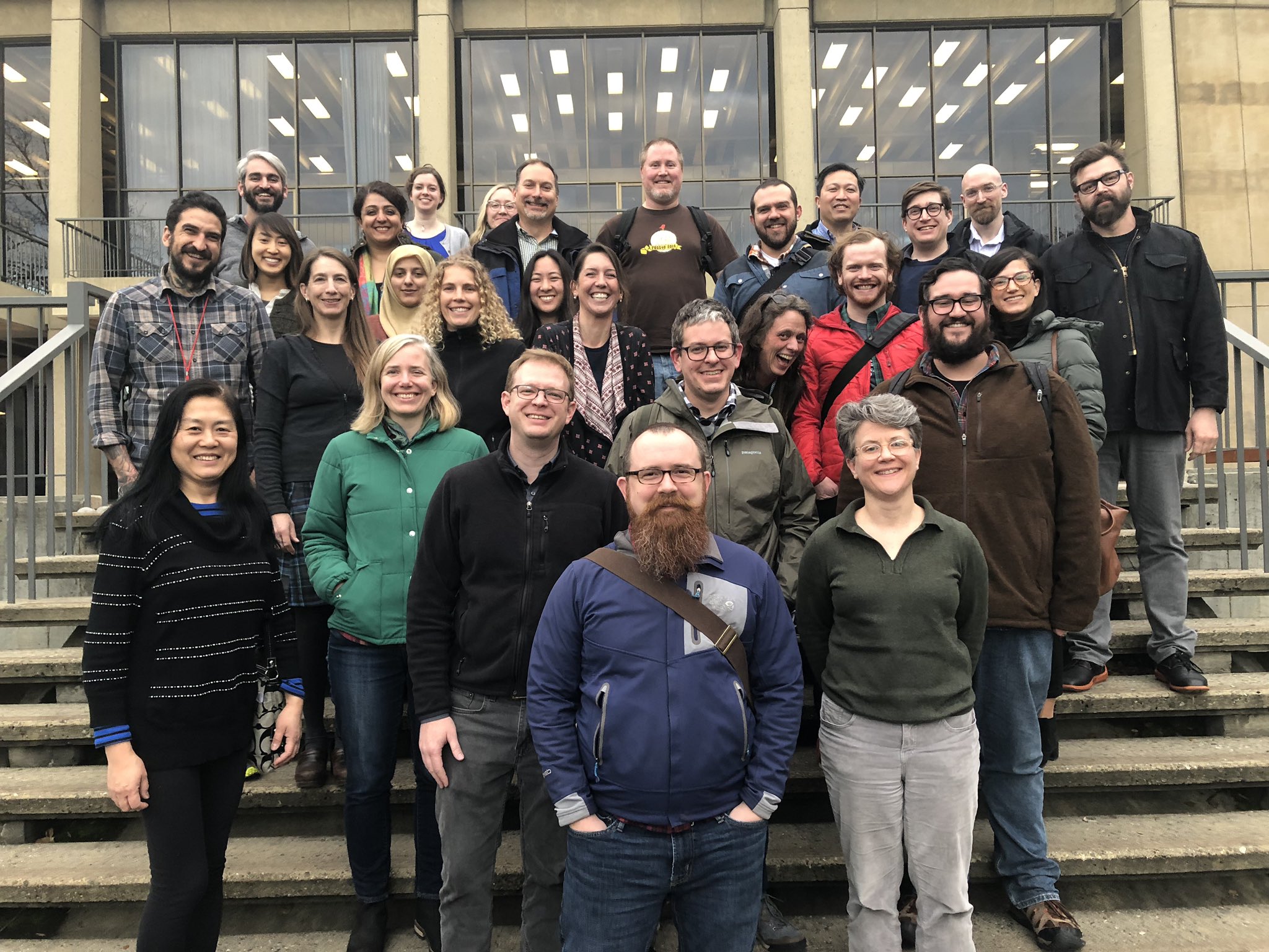
Last week marked the 4th consecutive Geo4Lib Camp, a GeoBlacklight-oriented (un)conference hosted by Stanford University Libraries. This is my favorite conference every year, and as always I am impressed by the strides that the open-source geospatial data discovery community has made. It seems like many libraries, including the University of California Berkeley and the University of Colorado, have established robust spatial data infrastructures. Berkeley in particular has launched GeoData @ UCB with over 700 of their own vector layers, replete with web geoservices.

Here’s 5 things I learned at Geo4Lib Camp this year:
- The community has finally moved toward better integration with ESRI Online discovery systems. ESRI, which sponsored the conference this year and sent a couple of team members (Angela Lee and John Gravois) to participate, helped us to develop an “Open in ArcGIS Online” button. This feature allows users to import feature layers into an ArcGIS online session with one click and is now a part of the master branch of GeoBlacklight. This, coupled with talks of how ESRI users manage community data holdings, offers a lot of promise for building and managing data collections, and it also would appear to enable a much better connection between our local spatial data holdings and the larger ESRI suite, including StoryMaps.
- Relatedly, there was a great deal of talk about the possibility of moving toward a “distributed” spatial data infrastructure model. Many institutions have difficulty hosting or configuring web geoservices (NYU is not alone in this), and many organizations discussed the possibility of triangulating hosted data with externally provided web services (whether these be ESRI’s, instances of IIIF endpoints, or some other combination).
- No institution has developed a completely seamless workflow for producing GeoBlacklight metadata, but several places are beginning to develop and share tools for making transformations. In particular, I enjoyed delivering a workshop with Kim Durante on making GeoBlacklight metadata (see here for workshop materials). Kim developed a very effective, modular Jupyter Notebook for leveraging GDAL and transforming GeoBlacklight metadata into XML format, while I shared our in-progress tool, SdrFriend, which allows for extensive metadata transformation and management. Relatedly, developers at the University of Colorado Boulder have assembled Geo-Loader, a tool for authoring GeoBlacklight metadata and indexing it into Solr instantly. It’s really encouraging to see these tools and others like it emerging.
- I didn’t learn this at the conference itself, but it’s worth mentioning that the community finished an extensive winter 2019 sprint and released GeoBlacklight 2.0, which incorporates the work upstream from the Blacklight 7 release. Read Karen Majewicz’s overview of sprint accomplishments here.
- Finally, I learned about cloud-optimized GeoTIFFs, a more efficient way to store and host GeoTIFFs on an https server. This is technically another example of point 2 (above), but it’s something that I’d like to explore at NYU Libraries.
We are all looking forward to Geo4Lib 2020!
