NYU Data Services is excited to publish a collection of 2015 Aerial Laser and Photogrammetry Survey Data for Dublin City, Ireland in the Spatial Data Repository. This high density dataset was collected in March 2015 by Debra F. Laefer and a team of researchers at NYU’s Center for Urban Science and Progress (CUSP). The dataset includes aerial laser scanning (ALS) from 41 flight paths in the form of a 3D point-cloud (LAZ) and 3D full waveform ALS (LAS and Pulsewave), and other imagery data. For more information on this collection, please read the official press release. TechCrunch refers to this set as the “largest LiDAR dataset ever to help urban development.”
Also, refer to the video below for a 3D preview of what the data looks like when visualized.
About the Collection and Data Release
The 2015 LiDAR dataset is a landmark acquisition for geospatial data collections at NYU Libraries. It is the first time since the launch of our new Spatial Data Repository in 2016 that the GIS team has worked with researchers at NYU to bring a complex, multi-format original dataset into our collection. Many thanks to Stephen Balogh, Brittney ONeill, Ahn-Vu Vo, and others who put in incredible amounts of work on organizing the data for release and developing capacity for it.
Because of the size and complexity of the data, we had to take several new steps in order to present the data with enough spatial context to be useful to a range of geospatial researchers. One of the most frequent questions we anticipate about this data is, “what is it, and what can you do with it?” To help, the team has provided a 3D rendering of what the point cloud data looks like when visualized (see below).
This is just one section of point cloud data, which anyone can download and visualize with a library like Potree, though even this visualization is presenting a compressed and down-sampled version of the full waveform LiDAR, which is made available in LAS and Pulsewaves formats. Professor Laefer’s team has provided very robust documentation about the use of this data in research, and its application for urban informatics scholarship. To date, this type of data has been used to explore the detection of road curbs and obstacles, tree growth, and more.
The size and complexity of the data associated with the 2015 aerial laser scan has also required us to revise some of the ways that we have been presenting spatial data. In total, the data associated with just a two square kilometer area in Dublin is well over one terabyte and comes in at least four different formats, including point cloud, full waveform, and infrared GeoTIFF. We needed efficient ways for users to explore smaller subsets of the data and download files efficiently, so we expanded the interface of GeoBlacklight to afford for discovery according to individual flight paths or area of coverage.
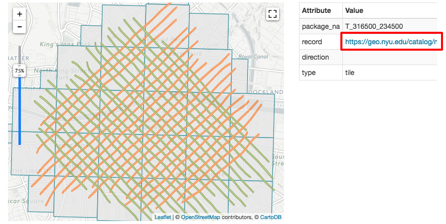
Through our spatial discovery application, GeoBlacklight, users can find sections or subsets of the data that are important to them and download accordingly. We hope that this release of LiDAR data benefits the larger geospatial community, and we encourage you to explore the complete collection within NYU’s Spatial Data Repository.
